 Resa Routes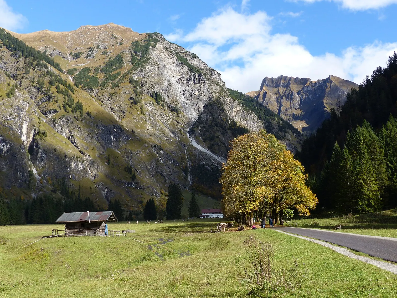
Cycling · Bavaria
Cycling routes around Oberstdorf
4 waymarked cycling routes around Oberstdorf (Bavaria), from OpenStreetMap. We calculated the length from the route’s course.
Photo: Whgler · CC BY-SA 4.0

Oberstdorf has Germany's southernmost railway station and is the starting point for the Allgäu Alps. From the village, paths lead into the Oytal, Trettachtal and Stillachtal valleys, summer and winter alike. One thing stands out in our data: many marked routes are winter walking trails. Oberstdorf keeps more than 140 km of them prepared and labels each with a letter and a colour for difficulty. In summer the Nebelhornbahn cable car takes you up, and the Breitach Gorge is reachable by local bus. Several Via Alpina stages also cross the area.
Good to know
- By train: Regional-Express via Kempten and Immenstadt to Oberstdorf, Germany's southernmost station.
- Winter trails: more than 140 km, named by letter. Yellow means a valley path for ordinary shoes, red involves climbs and needs sturdy shoes, blue calls for good footwear, sure footing and a head for heights.
- The Nebelhornbahn and the Breitach Gorge are both served by the local bus, so no car is needed.
Radwanderung Trettachtal
On OpenStreetMap ↗Oberstdorf - Schöllang
On OpenStreetMap ↗Radwanderung Oytal
On OpenStreetMap ↗Trettach - Iller
On OpenStreetMap ↗