 Resa Routes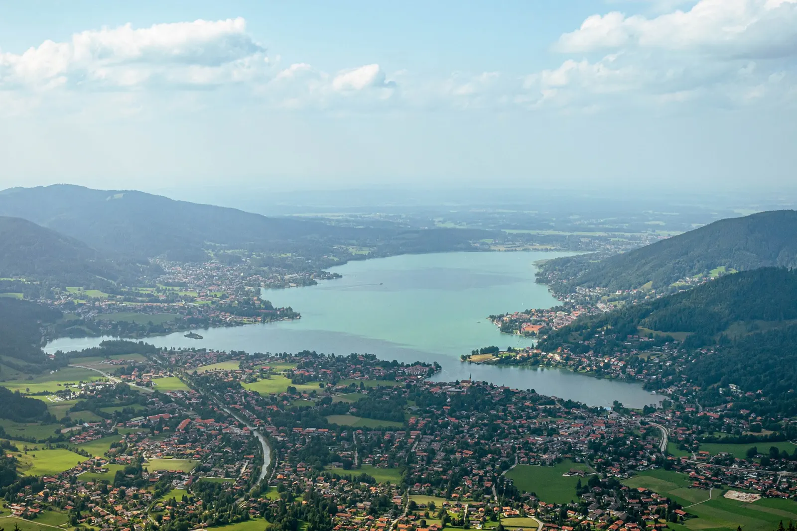
Cycling · Bavaria
Cycling routes around Tegernsee
3 waymarked cycling routes around Tegernsee (Bavaria), from OpenStreetMap. We calculated the length from the route’s course.

At the Tegernsee, many hikes start right at the railway station. The Neureuth (1,264 m), with a mountain inn that is open all year, is about an hour and a half on foot from Tegernsee station and looks out over the whole lake. On the south shore, in Rottach-Egern, the Wallbergbahn cable car climbs higher. Most routes in our data are footpaths, plus mountain bike loops on forest roads to alpine pastures such as the Gindelalm and the Aueralm. Around Gmund on the north shore there are longer circular walks without a summit, good for half a day. The European long-distance path E4 also runs through.
Good to know
- By train: BRB line RB57 runs from München Hbf via Holzkirchen to Tegernsee. As far as Holzkirchen it is coupled to the Bayrischzell train, so board the right section.
- From Tegernsee station, RVO bus 356 runs via Rottach-Egern to the Wallbergbahn and on to Kreuth.
- Neureuth: from Tegernsee station about 3 km and 500 m of climbing each way, roughly an hour and a half; the inn is open all year.
- The European long-distance path E4 crosses the Tegernsee area.
BHRBauernhof Roas
On OpenStreetMap ↗Seerundweg
On OpenStreetMap ↗Panoramaweg
On OpenStreetMap ↗