 Resa Routes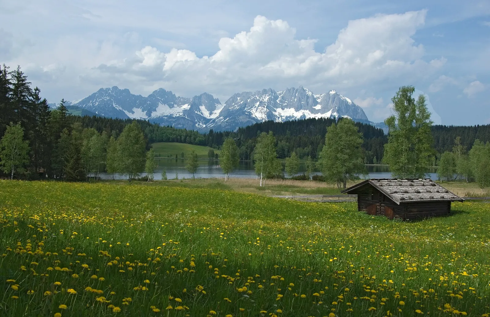
Hiking · Austria
Hiking trails around Kitzbühel
8 waymarked hiking trails around Kitzbühel (Austria), from OpenStreetMap. We calculated the length from the route’s course.
Also here:Mountain biking · 26
Photo: WOKRIE · CC BY-SA 4.0

Kitzbühel sits between two mountains, each reached by a lift straight from town: the Hahnenkamm, known for the downhill race on the Streif, and the Kitzbüheler Horn opposite. In our data the area is above all mountain bike country: more than half of the routes are signposted bike loops, many starting in Kitzbühel or Kirchberg. Walkers will find an alpine flower garden with more than 400 plant species on the Horn, a few minutes from the top station. Trains stop several times around Kitzbühel, including at Hahnenkamm and Schwarzsee, so many routes can be started without a car.
Good to know
- By train: Kitzbühel is on the ÖBB Salzburg–Tyrol line; the journey from Innsbruck takes about an hour.
- The Hahnenkammbahn valley station is at 786 m in town, close to the railway – convenient for arrivals by train.
- Alpine flower garden on the Kitzbüheler Horn: more than 400 alpine plants on about 20,000 m², a few minutes' walk from the top station.
- In January, during the Hahnenkamm race, town and trains are packed; ÖBB runs extra trains.
Our picks
- Alpenblumenweg — A 13.7 km footpath on the Kitzbüheler Horn, not a loop.
Wandernetz TVB Kitzbüheler Alpen - Brixental
On OpenStreetMap ↗Alpenblumenweg
On OpenStreetMap ↗Karstweg
On OpenStreetMap ↗9Wanderweg 9 - Wilder Kaiser
On OpenStreetMap ↗Sommerweg Sonnleitnerhütte/Kobingerhütte
On OpenStreetMap ↗Wanderweg 26a - Wilder Kaiser
On OpenStreetMap ↗56Wanderweg 56 - Kitzbühel
On OpenStreetMap ↗Wanderweg 11 - Wilder Kaiser
On OpenStreetMap ↗