 Resa Routes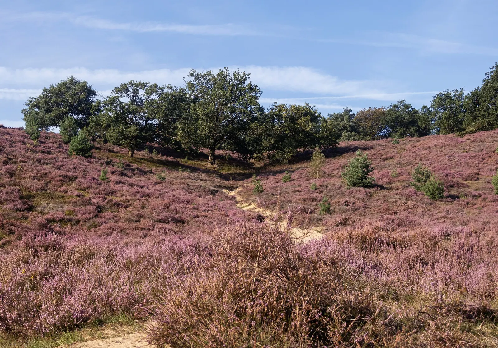
Hiking · Netherlands
Hiking trails around Veluwe
26 waymarked hiking trails around Veluwe (Netherlands), from OpenStreetMap. We calculated the length from the route’s course.
Photo: Michielverbeek · CC BY-SA 4.0

This part of the Veluwe lies between Otterlo, Schaarsbergen and the northern edge of Arnhem, with De Hoge Veluwe National Park at its centre. The terrain is flat to gently rolling: woodland, heath and open sand, with no real climbs. Free white bicycles are available in the park, and the Kröller-Müller Museum sits in the middle. Outside the park, the colour-coded loops of the Veluwe walking network run through the woods near Otterlo and through Planken Wambuis, a Natuurmonumenten reserve. Many routes in our data are loops of between 1.5 and 17 km, good for half a day.
Good to know
- The park has three entrances: Hoenderloo, Otterlo and Schaarsbergen. The park centre is 3 km from Otterlo, 4 km from Hoenderloo and 10 km from Schaarsbergen.
- By public transport: via Ede or Arnhem to the 'Ingang Otterlo' stop, via Apeldoorn to 'Hoenderloo Centrum'; from there a Syntus Gelderland bus continues to the park centre.
- White bikes: about 1,800, no booking needed, at the entrances, Marchantplein, the Kröller-Müller Museum and Jachthuis Sint Hubertus.
- The Schaarsbergen entrance is closed to buses.
Our picks
- De grote 5 van Otterlo — A short 5.2 km loop near Otterlo, easy to combine with a visit to the park.
- WNW Veluwe - Planken Wambuis - rode route — The red loop through Natuurmonumenten's Planken Wambuis, 4.7 km.
- WNW Veluwe - Otterlo/Otterlose Buurtbos - paarse route — The longest walking-network loop near Otterlo, 16.8 km.
SP16Veluwe Zwerfpad - doorsteek 6 - etappe 25
On OpenStreetMap ↗SP16Veluwe Zwerfpad - doorsteek 4 - etappe 23
On OpenStreetMap ↗paarsWNW Veluwe - Otterlo/Otterlose Buurtbos - paarse route
On OpenStreetMap ↗SP16Veluwe Zwerfpad - doorsteek 5 - etappe 24
On OpenStreetMap ↗LAW 2Trekvogelpad - 17
On OpenStreetMap ↗Eeskooterpad
On OpenStreetMap ↗Harscamperpad
On OpenStreetMap ↗PLPPlaggenstekerspad
On OpenStreetMap ↗WNW Veluwe - Ryzenburg - rode route
On OpenStreetMap ↗geelWNW Veluwe - Oud-Reemst - gele route
On OpenStreetMap ↗blauwWNW Veluwe - De Krim - blauwe route
On OpenStreetMap ↗roodDe grote 5 van Otterlo
On OpenStreetMap ↗Rood-witte wandelroute
On OpenStreetMap ↗roodWNW Veluwe - Hoenderloo/Kampheuvwel - rode route
On OpenStreetMap ↗roodWNW Veluwe - Planken Wambuis - rode route
On OpenStreetMap ↗Rode rondwandeling
On OpenStreetMap ↗roodDe Roekel
On OpenStreetMap ↗blauwWNW Veluwe - Oud-Reemst - blauwe route
On OpenStreetMap ↗geelWNW Veluwe -Otterlo/Kastanjebos - gele route
On OpenStreetMap ↗blauwWNW Veluwe - Otterlose Buurtbos - oranje route
On OpenStreetMap ↗blauwWNW Veluwe - Otterlose Buurtbos - blauwe route
On OpenStreetMap ↗Eeskoterpad routeverkorter
On OpenStreetMap ↗groenWNW Veluwe - Hoenderloo - groene route
On OpenStreetMap ↗Belevingsroute
On OpenStreetMap ↗OEHOverstaproute Eeskooterpad - Harscamperpad
On OpenStreetMap ↗LAW 2TVP 17 Alternatieve route bronstijd
On OpenStreetMap ↗