 Resa Routes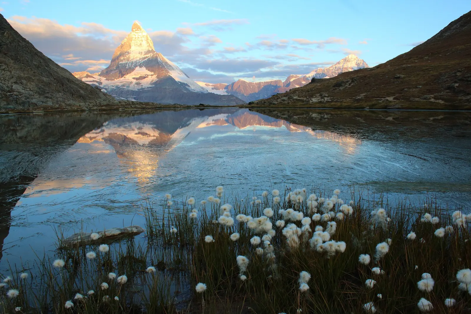
Hiking · Switzerland
Hiking trails around Zermatt
29 waymarked hiking trails around Zermatt (Switzerland), from OpenStreetMap. We calculated the length from the route’s course.
Photo: FrDr · CC BY-SA 4.0

Zermatt is car-free: private cars may go as far as Täsch, where a shuttle train covers the last stretch in 12 minutes. Around the village, trails run through larch forest and across alpine meadows up to the glaciers, often with the Matterhorn in view. The mountain railways put high ground within easy reach: the Gornergrat Bahn climbs to just over 3,000 m in 33 minutes, looking out over Monte Rosa, the Gorner Glacier and the Matterhorn. Many routes in our data therefore run from one station to another, such as the Five Lakes Walk between Sunnegga and Blauherd. For a full-day loop from the village, there is the Edelweissweg.
Good to know
- By train: via Visp or Brig, then the Matterhorn Gotthard Bahn to Zermatt.
- By car: park at the Matterhorn Terminal in Täsch; shuttle trains run every 20 minutes and take 12 minutes.
- Riffelsee (2,770 m): take the Gornergrat Bahn to Rotenboden, then walk about 10 minutes. On a still day the Matterhorn is reflected in the lake.
- The Five Lakes Walk links the Stellisee, Grindjisee, Grünsee, Moosjisee and Leisee.
Our picks
- 5-Seenweg — From Sunnegga to Blauherd past five mountain lakes, 11.7 km in our data.
- Riffelseeweg — Short and high: 3.0 km from Rotenboden to Riffelberg, with the Gornergrat railway at both ends.
- Edelweissweg — A 19.4 km loop that starts and ends in Zermatt.
- Matterhorn-Trail — 7.1 km from Schwarzsee down to Furi, close to the foot of the Matterhorn.
30Edelweissweg
On OpenStreetMap ↗32Wisshornweg
On OpenStreetMap ↗1865-Seenweg
On OpenStreetMap ↗Kulturweg
On OpenStreetMap ↗29Matterhorn-Trail
On OpenStreetMap ↗Matterhorn glacier trail
On OpenStreetMap ↗7Kristallweg
On OpenStreetMap ↗23Swiss Top Walk
On OpenStreetMap ↗19Naturweg
On OpenStreetMap ↗21APanoramaweg Monte Rosa Hütte
On OpenStreetMap ↗256Zermatt Furi-Zermatt
On OpenStreetMap ↗5Gamsweg
On OpenStreetMap ↗256Furi-Weg
On OpenStreetMap ↗27Hörnliweg
On OpenStreetMap ↗28Lärchenweg
On OpenStreetMap ↗Alte Monte Rosa Hütte Weg
On OpenStreetMap ↗8Murmelweg
On OpenStreetMap ↗1Abenteuerweg
On OpenStreetMap ↗18Mark Twain Weg
On OpenStreetMap ↗Monte Rosa Hütte Weg
On OpenStreetMap ↗21Riffelseeweg
On OpenStreetMap ↗Arwenweg
On OpenStreetMap ↗31Botanischer Lehrpfad
On OpenStreetMap ↗13Path to Freedom
On OpenStreetMap ↗3Blumenweg
On OpenStreetMap ↗9Panoramaweg
On OpenStreetMap ↗Triftenwaeng
On OpenStreetMap ↗Matterhorn Konditionstraining
On OpenStreetMap ↗Trockerner Steg - Gandegghütte
On OpenStreetMap ↗