 Resa Routes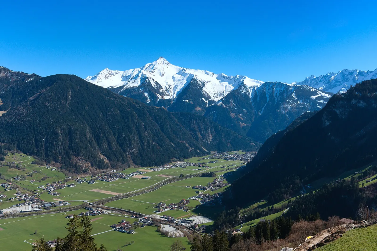
Hiking · Austria
Hiking trails around Zillertal
31 waymarked hiking trails around Zillertal (Austria), from OpenStreetMap. We calculated the length from the route’s course.
Also here:Mountain biking · 17
Photo: D-Kuru · CC BY-SA 4.0

Our map section covers the Zillertal between Zell am Ziller and Mayrhofen. The valley floor barely climbs – about 100 m over the 32 km from Jenbach to Mayrhofen – while the sides are steep. From Mayrhofen, the Ahornbahn and Penkenbahn lifts go straight up to where hiking and bike routes begin. Down in the valley, a long circuit links Mayrhofen and Zell, a good option on days with low cloud. Further up the valley the Berliner Höhenweg starts, a multi-day hut route whose final stage ends in Mayrhofen.
Good to know
- By train: ÖBB to Jenbach, then the Zillertalbahn, which runs every 30 minutes to Mayrhofen (32 km).
- In summer a Zillertalbahn steam train also runs on selected days; the timetable changes from year to year, so check beforehand.
- The Ahornbahn and Penkenbahn both leave from Mayrhofen; several bike loops start at the Penkenbahn top station.
Our picks
- Easy Trail — A 24.8 km valley loop between Mayrhofen and Zell, maintained by the Mayrhofen tourist board.
- Wanderweg 46: Mayrhofen => Ahornbahn Bergstation — On foot from Mayrhofen to the Ahornbahn top station, 8.9 km; the lift is an option for the way down.
- Berliner Höhenweg Etappe 8 — The final stage of the Berliner Höhenweg, 8.9 km from the Edelhütte down to Mayrhofen.
Easy Trail
On OpenStreetMap ↗VA-R38Via Alpina Red R38
On OpenStreetMap ↗10Zillertal-Arena Wanderweg 10
On OpenStreetMap ↗46Wanderweg 46: Mayrhofen => Ahornbahn Bergstation
On OpenStreetMap ↗Berliner Höhenweg Etappe 8
On OpenStreetMap ↗514Wanderweg 514
On OpenStreetMap ↗24Wanderweg 24
On OpenStreetMap ↗VA-R37Via Alpina Red R37
On OpenStreetMap ↗Berliner Höhenweg Etappe 1
On OpenStreetMap ↗24bWanderweg 24b
On OpenStreetMap ↗12Wanderweg 12
On OpenStreetMap ↗514AV Weg 514
On OpenStreetMap ↗9Wanderweg 9
On OpenStreetMap ↗24aWanderweg 24a
On OpenStreetMap ↗Holzweg
On OpenStreetMap ↗26aWanderweg 26a
On OpenStreetMap ↗514AV Weg 514
On OpenStreetMap ↗22Wanderweg 22
On OpenStreetMap ↗Ramsauer Höhenweg
On OpenStreetMap ↗23Wanderweg 23
On OpenStreetMap ↗21Wanderweg 21
On OpenStreetMap ↗23aWanderweg 23a
On OpenStreetMap ↗30Wanderweg 30
On OpenStreetMap ↗42a42a
On OpenStreetMap ↗1Zillerpromenade
On OpenStreetMap ↗Wanderweg 27
On OpenStreetMap ↗Berliner Höhenweg Zustieg Ahornbahn
On OpenStreetMap ↗Popbergschneid
On OpenStreetMap ↗