 Resa Routes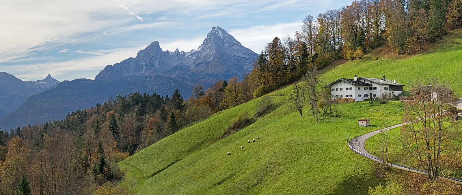
Mountain biking · Bavaria
Mountain bike routes around Berchtesgaden
4 waymarked MTB routes around Berchtesgaden (Bavaria), from OpenStreetMap. We calculated the length from the route’s course.
Photo: Jörg Braukmann · CC BY-SA 4.0
.jpg)
The south of the Berchtesgaden area is taken up by Berchtesgaden National Park: founded in 1978, it is Germany's only national park in the Alps, about 210 km² in size with more than 250 km of trails. The Watzmann, the Hochkalter and the Königssee define the scenery. Most routes in our data are Alpine Club paths, many of them long approaches to huts and passes. There are also quieter paths around Ramsau and Berchtesgaden, such as the Soleleitungsweg along the old brine pipeline. For something less steep, the electric boat crosses the Königssee to St. Bartholomä or Salet, and from Salet a short walk leads to the Obersee.
Good to know
- By public transport: train via Freilassing to Berchtesgaden Hbf (Berchtesgadener Land Bahn), then RVO bus 841 towards Königssee; the shore is about 5 minutes from the stop.
- The Königssee boats are electric: about 35 minutes to St. Bartholomä and roughly 20 minutes more to Salet. From Salet the Obersee is a fifteen-minute walk.
- In the national park, stay on marked trails to protect plants and wildlife in the core zone.
- About 20 minutes out, the boat stops at the Echowand, where a trumpet or horn demonstrates the echo off the rock face.
WHMTBWatzmann-Hochkönig Süd-Runde: Etappe 3: Variante über Bluntautal und C. v. Stahl Haus
On OpenStreetMap ↗WHMTBWatzmann-Hochkönig Nord-Runde: Etappe 5: Marzoll – Hintersee
On OpenStreetMap ↗Berchtesgaden - Gotzenalm
On OpenStreetMap ↗7Kühroint über Schönau
On OpenStreetMap ↗