 Resa Routes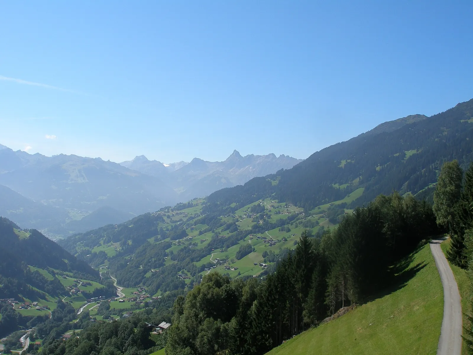
Mountain biking · Austria
Mountain bike routes around Montafon
19 waymarked MTB routes around Montafon (Austria), from OpenStreetMap. We calculated the length from the route’s course.
Also here:Hiking · 11
Photo: Klaus Graf · CC BY-SA 3.0

The Montafon is the valley of the Ill in southern Vorarlberg, framed by three ranges: the Rätikon, the Verwall and the Silvretta. Our map section runs from Schruns and Tschagguns through the Golm area to Gargellen, and in the south across the border ridge into Switzerland. Most routes in our data are mountain bike tours; there are also high paths that start at lift top stations, such as the Golmerbahn at 1,893 m, from where trails head towards the Rätikon and the Lünersee. The Illweg follows the river through the whole valley from Bludenz to Partenen.
Good to know
- By train: the Montafonerbahn runs from Bludenz to Schruns hourly, partly every half hour; there are also direct trains from Lindau and Bregenz.
- The Golmerbahn valley station is about 1.2 km from Vandans station.
- From Schruns station the main valley bus lines run every half hour; the Kristbergbahn in Silbertal is also reached by bus from Schruns.
Our picks
- Action Tour — A 19.8 km mountain bike loop around Schruns and Tschagguns.
T14M3M3 - extrem / Montafon Mountainbike Marathon
On OpenStreetMap ↗T12M2M2 - anspruchsvoll / Montafon Mountainbike Marathon
On OpenStreetMap ↗T24Goldschlüssel Tour
On OpenStreetMap ↗T07Sonnenbalkon Tour
On OpenStreetMap ↗T06M1M1 - sportlich / Montafon Mountainbike Marathon
On OpenStreetMap ↗T04Bergknappen Tour
On OpenStreetMap ↗T05Action Tour
On OpenStreetMap ↗T17Itonskopf Tour
On OpenStreetMap ↗T09Grabser Tour
On OpenStreetMap ↗T03Bade Tour
On OpenStreetMap ↗T16Panorama Tour
On OpenStreetMap ↗T27Schmuggler Tour
On OpenStreetMap ↗T08Alpe Tilisuna Tour
On OpenStreetMap ↗T26Vergalda Tour
On OpenStreetMap ↗T01City Tour
On OpenStreetMap ↗T11Fernsicht Tour
On OpenStreetMap ↗T02Bärger Tour
On OpenStreetMap ↗T28Bike & Hike Tour
On OpenStreetMap ↗T25Alpe Nova Tour
On OpenStreetMap ↗