 Resa Routes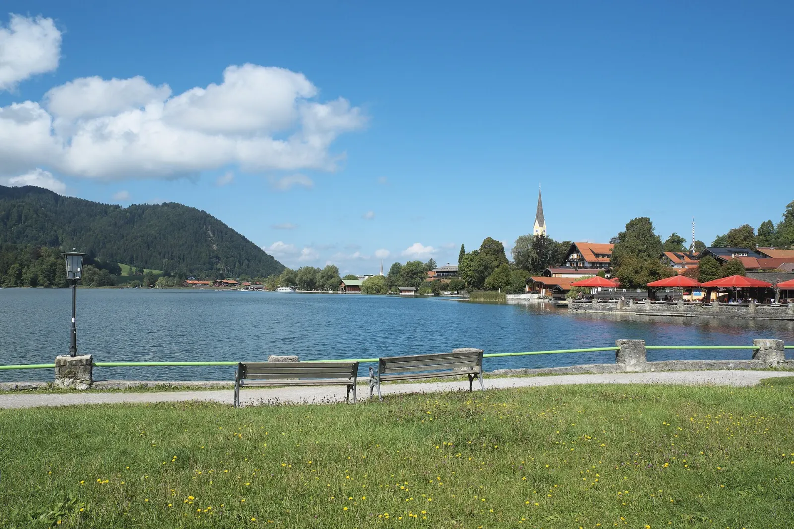
Mountain biking · Bavaria
Mountain bike routes around Schliersee & Spitzingsee
10 waymarked MTB routes around Schliersee & Spitzingsee (Bavaria), from OpenStreetMap. We calculated the length from the route’s course.
Photo: GFreihalter · CC BY-SA 4.0

Two quite different lakes sit around Schliersee: the Schliersee itself on the valley floor, right on the railway from Munich, and the Spitzingsee at 1,084 m, where trails head into the Rotwand area. At 1,884 m the Rotwand is the highest summit of the Schliersee Mountains and draws a crowd on fine days. Families often stay lower down: the shoreline path around the Schliersee is mostly paved, and a boat runs to Wörth island, which has a restaurant and a lawn. Cyclists and mountain bikers have long loops through the Leitzach valley and around the Schliersberg. From Munich Hbf it takes just over an hour, no car needed.
Good to know
- By train: BRB line RB55 (München Hbf – Bayrischzell) runs hourly to Schliersee in just over an hour; bikes are carried.
- RVO bus 362 runs from Schliersee station to the Spitzingsee. Since December 2022 it no longer stops at Fischhausen-Neuhaus station but at the 'Neuhaus' stop about 300 m away, so changing at Schliersee is easier.
- The Taubensteinbahn cable car at the Spitzingsee runs in summer to 1,613 m. From its valley station the Rotwand is just under an hour and a half on foot, which makes that path busy.
- Below the Rotwand, the Jägerbauernalm is staffed during the grazing season, from early June to the end of September.
- The Lake Constance–Königssee cycle route (about 450 km) passes through the area.
Our picks
- Rund um den Schliersberg — A 31.8 km mountain bike loop around Schliersee's local hill.
- Valepp - Spitzingsee - Freudenreich Alm — A 25.1 km one-way mountain bike route from the Spitzingsee into the Valepp valley; plan the way back.
17aUm den Schliersberg über Miesbach
On OpenStreetMap ↗22aMTB Almtour
On OpenStreetMap ↗17Rund um den Schliersberg
On OpenStreetMap ↗20MTB Alpbachtal Rundtour
On OpenStreetMap ↗39Valepp - Spitzingsee - Freudenreich Alm
On OpenStreetMap ↗18aUm das Aurachköpfel über Schliersee
On OpenStreetMap ↗18Über das Aurachköpfl
On OpenStreetMap ↗13aMTB Große Leitzachtalrunde
On OpenStreetMap ↗38MTB Alpbach über Gindel Alm
On OpenStreetMap ↗21MTB Rund um die Schliersbergalm
On OpenStreetMap ↗