 Resa Routes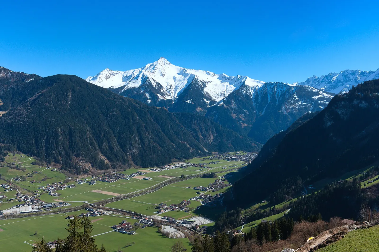
Mountain biking · Austria
Mountain bike routes around Zillertal
17 waymarked MTB routes around Zillertal (Austria), from OpenStreetMap. We calculated the length from the route’s course.
Also here:Hiking · 31
Photo: D-Kuru · CC BY-SA 4.0

Our map section covers the Zillertal between Zell am Ziller and Mayrhofen. The valley floor barely climbs – about 100 m over the 32 km from Jenbach to Mayrhofen – while the sides are steep. From Mayrhofen, the Ahornbahn and Penkenbahn lifts go straight up to where hiking and bike routes begin. Down in the valley, a long circuit links Mayrhofen and Zell, a good option on days with low cloud. Further up the valley the Berliner Höhenweg starts, a multi-day hut route whose final stage ends in Mayrhofen.
Good to know
- By train: ÖBB to Jenbach, then the Zillertalbahn, which runs every 30 minutes to Mayrhofen (32 km).
- In summer a Zillertalbahn steam train also runs on selected days; the timetable changes from year to year, so check beforehand.
- The Ahornbahn and Penkenbahn both leave from Mayrhofen; several bike loops start at the Penkenbahn top station.
Our picks
- Horberg - Penken Runde — An 8.8 km bike loop from the Penkenbahn top station – the lift takes care of the climb.
401Zillertaler Höhenstraße
On OpenStreetMap ↗470Stilluptal
On OpenStreetMap ↗475Finkenberg - Penkenjoch
On OpenStreetMap ↗55Bike Trail Tirol Etappe 18: Mayrhofen - Lanersbach
On OpenStreetMap ↗423Mühltal
On OpenStreetMap ↗4026Finkenberg-Mittelstation-Penkenjoch
On OpenStreetMap ↗422Mösl - Penkenjoch
On OpenStreetMap ↗476Horberg - Penken Runde
On OpenStreetMap ↗54Bike Trail Tirol Etappe 17: Zell - Mayrhofen
On OpenStreetMap ↗420Rundroute Rastkogelhütte
On OpenStreetMap ↗459Kolmhaus
On OpenStreetMap ↗458Labergalm
On OpenStreetMap ↗438Bike & Hike Gamshütte
On OpenStreetMap ↗441Kreuzwiesenalm
On OpenStreetMap ↗4027Penken Panorama-Runde
On OpenStreetMap ↗472Alpenrose - Fellenberg
On OpenStreetMap ↗421Brindlingalm
On OpenStreetMap ↗